

Maps of Coombe Wood
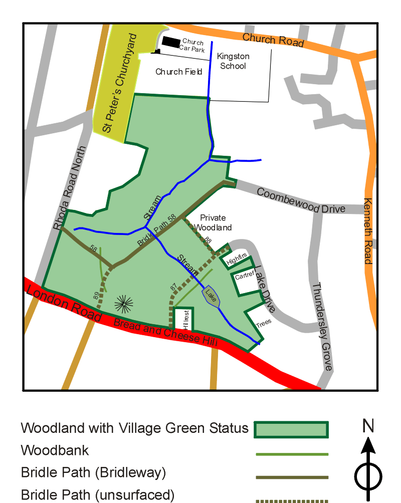
The first of these maps is a pictorial guide to the woods and the immediate area. It should not be taken as showing any definitive boundaries or accurate positioning on the ground. Although the map indicates the approximate area of the Woods with Village Green Status, the indication of woods without Village Green Status does not imply any rights of access.
The second map shows the woods as seen by Google Earth. This is based on sattelite photography and does indicate the accurate position on the ground. This map is a direct link to Google Earth itself, and you can pan and zoom using the guides at the top left.
A Pictorial Guide to Coombe Wood
The map below gives a pictorial guide to Coombe Wood not to scale.
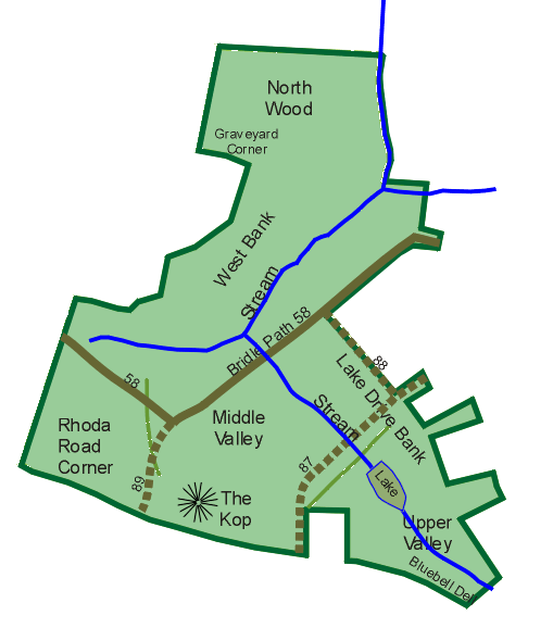
The Various Regions within the wood
This map shows some names for the various parts of the wood. These are there largely for recording so that the location of a species can be given more specifically.
Coombe Wood in Google Earth
This page provides a customised use of Google Maps and Google Earth to show the features within the wood.
This map is a direct link to Google Earth and will respond to dragging and right-clicking. You can also use the control at the bottom right to zoom in or zoom out.
You can also select the Map Style at the top left: Map (aka Normal) gives the roads with names, Satellite gives the view from space. After clicking on Satellite, if you then click on Labels, it will toggle hiding or showing them both together (aka the Hybrid view).
In the Hybrid view, the labels, or markers, shown in green, are actually taken by Google Earth from the Regions map on this web page (above). The information you get by clicking on them actually relates to the nearest (or near-ish) house with a postcode!